

SANDO keeps UAVs clear of moving obstacles without a prior map
The MIT planner uses an upper limit on obstacle speed to anticipate where hazards could move, then revises a time-sensitive safety corridor throughout the flight.
 By
Leah Morrison
By
Leah Morrison
MIT researchers reported on October 7 that SANDO can plan collision-free UAV routes through unmapped environments containing moving obstacles.
The autonomous trajectory planner tackles a difficult Robotics problem. An aircraft entering a collapsed building, hidden tunnel or wildfire zone might have no reliable map, while debris and other hazards can change position during its flight. A route that is clear when initially calculated could therefore become unsafe before the vehicle reaches the same space.
SANDO stands for Safe AutoNomous trajectory planning for Dynamic unknOwn environments. It is designed to revise an aircraft’s route as onboard sensors reveal the surroundings. The researchers provided a mathematical proof that, under the system’s stated conditions, the resulting trajectories avoid collisions with moving obstacles, according to MIT News.
This formal result concerns collision avoidance along the planned trajectory. It does not mean that an aircraft is protected against every potential source of damage. The guarantee also relies on a crucial input: the planner must receive the maximum speed that obstacles could reach.
A speed bound takes the place of a prior map
SANDO does not require an advance map marking each wall, branch or moving object. Instead, the UAV observes its surroundings during flight and combines those observations with the specified upper limit on obstacle velocity. This allows planning to begin before the aircraft has discovered the entire area.
The speed bound helps the system look beyond an object’s position at the moment it is detected. Using the maximum velocity, the planner estimates the distance that object could cover during the time relevant to the UAV’s movement. It can then account for a range of possible future positions rather than treating the obstacle as stationary.
From that estimate, SANDO constructs a time-sensitive safety corridor through which the aircraft can travel while remaining separated from possible obstacle movements. The time component is essential because an opening in space may not remain open for the full period in which the UAV needs it. An object outside the corridor at one moment might move into it before the aircraft passes.
This approach connects space and time in the same planning process. The planner is not simply finding an unobstructed geometric line toward a destination. It is identifying where the UAV can be at successive moments while accounting for the distance nearby obstacles may travel over those same intervals.
As the aircraft advances, its sensors provide additional information about the environment. SANDO then adjusts the corridor and calculates a new trajectory. By repeating that process, the UAV does not remain committed to a route based on an earlier view that may no longer reflect the positions of surrounding hazards.

The mathematical guarantee is therefore conditional rather than unlimited. It depends on the obstacle-speed ceiling because the safe corridor is sized around how far an obstacle could move. If that required value is unavailable or inaccurate, the reported research does not establish the same guarantee.
The system’s scope is also narrower than a guarantee against all flight failures. It addresses whether the planned route intersects moving obstacles under the stated assumptions. The reports do not show that SANDO prevents mechanical faults, sensor failures, weather damage or other problems unrelated to trajectory collision avoidance.
Simulations and physical flights provide different evidence
The researchers evaluated SANDO in simulations and aboard a real uncrewed aerial vehicle. These forms of testing serve different purposes. Simulations allow planners to be compared across designed environments, while physical flights indicate whether sensors and onboard computing can support repeated trajectory updates on actual hardware.
| Evaluation | Reported result | What it demonstrates |
|---|---|---|
| Simulations | SANDO avoided collisions in every tested environment and reached the goal faster than several state-of-the-art systems. | The planner paired collision avoidance with comparatively fast arrival in the simulated cases selected for testing. |
| Real UAV flights | The aircraft avoided every dynamic obstacle across 12 test flights while using onboard sensors and computing to revise its trajectory. | The method operated on a physical UAV and reacted to moving obstacles during a limited series of flights. |
Tech Xplore’s report on the SANDO flight tests says the aircraft performed its replanning with onboard sensing and computing during those 12 flights. Running the process on the UAV extends the evaluation beyond software simulation, but the test series remains limited and is not evidence of deployment in emergency operations or other working environments.
The simulation comparison should likewise remain tied to the conditions that were tested. Reaching the destination faster than several other systems in those scenarios does not establish that SANDO will always be the fastest planner. Performance could differ with another aircraft, environment, sensor setup or collection of moving hazards.
The real flights establish a more focused result. They show that the aircraft could detect dynamic obstacles, update its trajectory onboard and avoid those obstacles throughout the reported trials. They do not cover every combination of visibility, weather, vehicle design or sensor limitation that an operational UAV could encounter.
Why map-free navigation could matter
The proposed applications have a common constraint: the environment cannot be mapped reliably before the aircraft enters it, yet delaying the flight until a complete map is available could reduce its usefulness. Dynamic hazards make the task harder because a map of fixed structures would not capture every change occurring during the mission.
- Search and rescue: a UAV could move inside a collapsed building where debris has altered passages shown on older plans.
- Mine exploration: an aircraft could navigate concealed tunnel networks without needing a complete map before departure.
- Package delivery: a drone could update its route as moving obstacles appear in a crowded neighborhood.
- Wildfire information gathering: an aircraft could respond to changing hazards, including falling branches and sudden flare-ups, while collecting information.
In each case, the planner’s role would be to maintain a collision-free trajectory while the vehicle discovers the environment. It would not remove the need for appropriate sensors, a usable obstacle-speed limit or other systems required to operate the aircraft.
These examples remain potential uses rather than reported field deployments. What the research establishes is more specific: a formal collision-avoidance guarantee under the planner’s conditions, collision-free results in the tested simulations and avoidance of dynamic obstacles during 12 physical UAV flights. SANDO’s practical significance lies in connecting those results to a setting where both the map and obstacle positions can change as the aircraft moves.
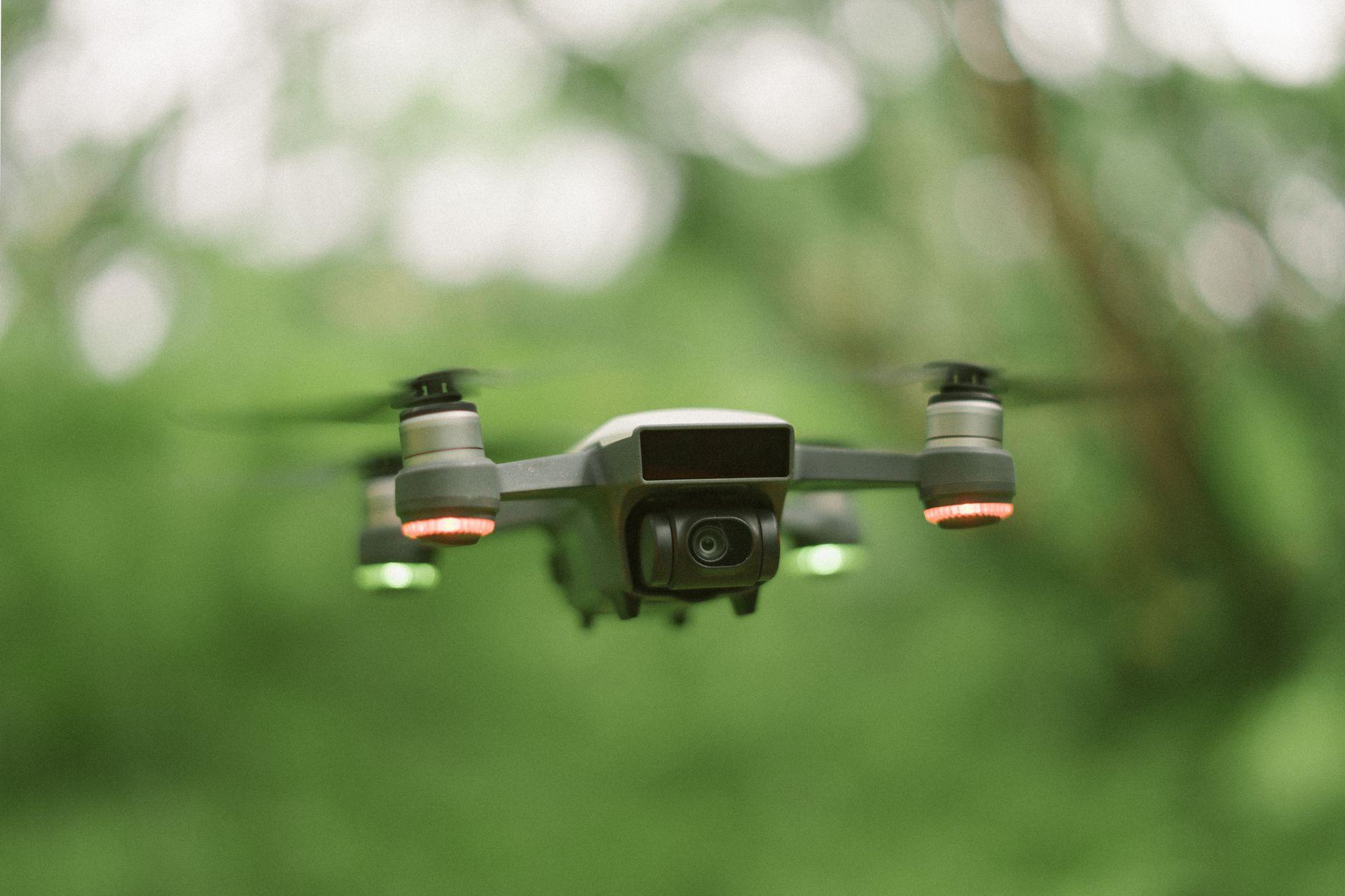
Featured image. Source: Pexels. Credit: Hc Digital. License: Pexels License.