

How Sensor Fusion Could Help Agricultural Robots Adapt in the Field
AIGreenBot is exploring how onboard sensors, aerial data and weather information could help agricultural robots plan tasks and respond to changing field conditions.
 By
Daniel Hargrove
By
Daniel Hargrove
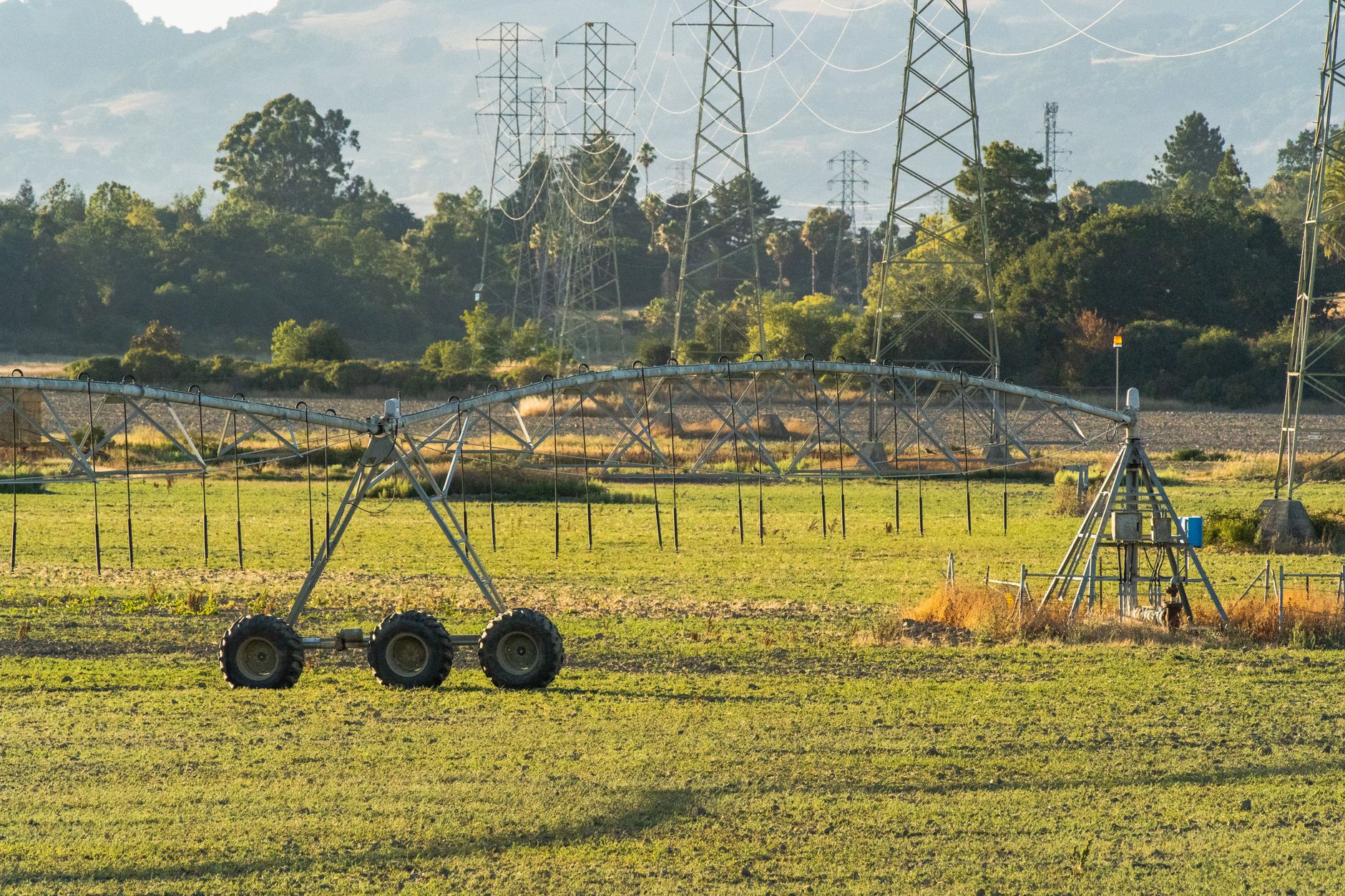
Agricultural robots need more than a route through a field. To work safely around uneven ground, variable soil and changing weather, they must interpret conditions that can differ from one area to the next. The AIGreenBot research project is examining how artificial intelligence and sensor fusion could give robots a broader picture of those conditions, combining readings taken at ground level with environmental information gathered across the landscape.
In brief
- AIGreenBot focuses on artificial intelligence, robotics and related technologies for precision agriculture.
- The project combines onboard sensor readings with data from drones, satellites and weather stations.
- Semantic maps are intended to help robots classify field areas, plan tasks and adapt to conditions.
- The framework is planned for experimental field trials and is not evidence of broad commercial deployment.
The project, described by INRAE’s TSCF unit, focuses on precision agriculture, sustainable robotics and digital agriculture. Its central challenge is navigation and adaptation across varied terrain, with soil moisture, traction and topography among the factors considered. Rather than treating a field as a uniform workspace, the proposed approach would allow a robot to use several kinds of evidence when deciding how to proceed.
Combining local readings with a wider field view
Sensor fusion refers here to bringing together information that comes from different sources and operates at different scales. AIGreenBot plans to combine local data from sensors carried by a robot with landscape-scale data from drones, satellites and weather stations. Ground-level sensing can indicate immediate conditions, while aerial and weather data can add context that extends beyond the robot’s current position.
This layered approach matters because a workable route is not necessarily an appropriate route for every farm operation. High soil moisture, for example, can change the suitability of an area for a task. The project proposes that a robot could adjust navigation parameters or control algorithms as conditions change. In the example provided by TSCF, it could alter its route or delay an operation when soil moisture is too high, rather than proceeding under unsuitable conditions.

The same principle applies to obstacles and terrain. A robot equipped to assess its surroundings can use available data to determine whether a location is appropriate for a specific task. That is a more demanding role than simple automated movement: it requires the system to connect environmental observations to task planning.
Semantic maps turn measurements into operational context
AIGreenBot’s planned system would organize multimodal data into semantic maps. These maps classify different parts of a field, helping a robot make decisions about planning and adaptation. The intended result is not merely a collection of sensor readings, but a representation of the environment that can inform navigation, obstacle management and task selection.
That model reflects the wider technical stack now associated with agricultural automation. An overview from Aitronik on autonomous robots and precision agriculture identifies mobile robotics, machine vision and advanced sensors as elements used in crop-management systems. It also lists multispectral and hyperspectral cameras, environmental sensors, and proximity and force sensors among the technologies that can support agricultural robots.
Different sensors can answer different questions. Environmental sensors may capture conditions such as soil moisture and temperature. Cameras can provide visual or spectral observations. Proximity and force sensors can support interactions with the physical environment. Sensor fusion is the effort to interpret such inputs together, so that a robot’s response is based on context rather than a single measurement.
For readers following the development of field automation, the site’s robotics coverage provides a broader view of how machines are being designed to perceive and act in less predictable settings. Agriculture is a particularly challenging case because soil, crops and weather continually alter the operating environment.

Data analysis supports decisions, not automatic certainty
Data collection alone does not determine what should happen in a field. The planned AIGreenBot framework includes machine-learning models intended to process and integrate data with spatial, spectral and temporal dimensions. This is important because field observations are not static: moisture can change, weather forecasts evolve and conditions can vary across a site.
A Clemson Land-Grant Press overview of connected agriculture, artificial intelligence and robotics similarly describes Internet of Things devices collecting soil-moisture, weather, soil-temperature and humidity data for farm decision-making. It notes that machine-learning models can analyze soil, weather and crop-health data to predict planting and harvesting times, forecast yields and identify potential diseases or water shortages.
These capabilities should be understood as decision-support and research objectives, not as proof that autonomous systems already work reliably in every field or crop. The Clemson publication says that many advanced farming tools remain in experimental studies, pilot projects or limited applications. AIGreenBot likewise describes future experimental field trials to evaluate navigation, task planning and adaptation under real agricultural conditions.
The significance of the project lies in its focus on the connection between perception and action. If robots can combine immediate sensor readings with wider environmental data, semantic maps may help them make more informed choices about where, when and how to perform a task. Whether that framework delivers dependable results will depend on the planned trials, particularly in the variable conditions that make agricultural robotics difficult in the first place.
Featured image. Source: Pexels. Credit: Robert So. License: Pexels License.